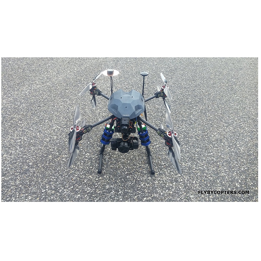
FlyByCopters Thermal Surveying/Mapping X8 640 R Quadcopter Drone With RTK Multi GNSS GPS
- Pixhawk AutoPilot Flight Controller
- RTK Multi GNSS GPS
- 3 Axis 32bit Brushless Gimbal
- Flir Vue Pro 640 R
- Sony A6000 High Resolution Camera
$22,898.00
This surveying/mapping thermal imaging quadcopter drone is fully configured out of the box and is capable of autopilot flight with waypoints and RTL.
The TX comes configured with six flight modes and 2 channels control the yaw and pitch of the gimbal. With the included Sony A6000 camera you can take professional aerial photos for surveying, mapping and geotagging images.
The included thermal sensor automatically geotags the images it takes. The thermal sensor also has radiometrics so you can see live temperature readings from the FPV screen.
With the included ground station, you can easily create an autopilot mission to survey a piece of land. The ground station also features software to easily geotag aerial photos.
This drone offers high precision centimeter accuracy multi-GNSS RTK GPS units. The multi-GNSS RTK GPS has accuracy up to 2cm.
The hand-held transmitter gives you remote access to the both cameras’ shutter via a switch. The included telemetry radio and OSD will transmit live flight data to the included 7″ FPV screen and overlay it onto the live video feed from the Sony A6000 or Flir Vue Pro 640 R.
Switch between the video feed from the Sony A6000 and the thermal sensor via the transmitter.
User Reviews
Only logged in customers who have purchased this product may leave a review.


There are no reviews yet.