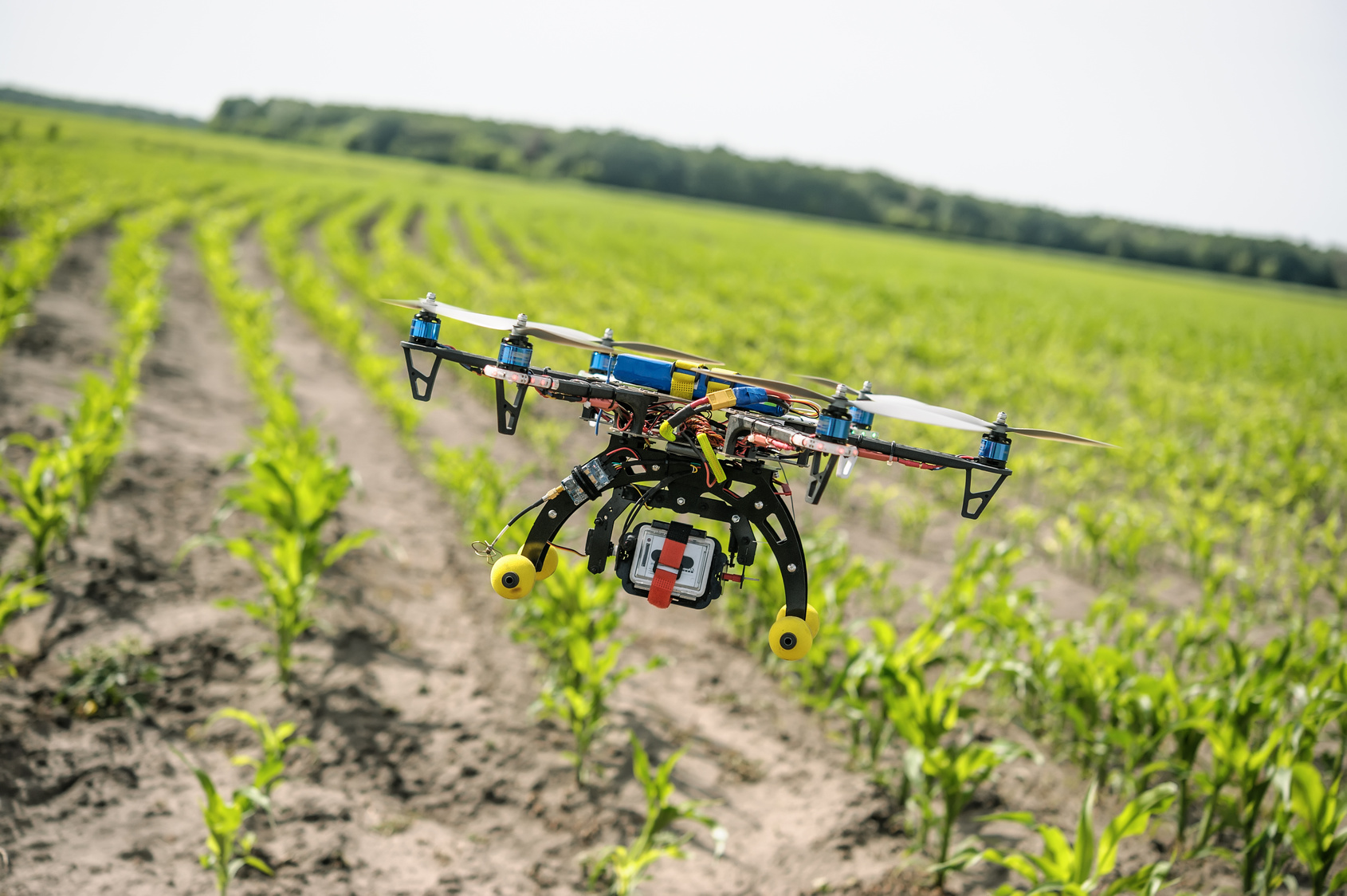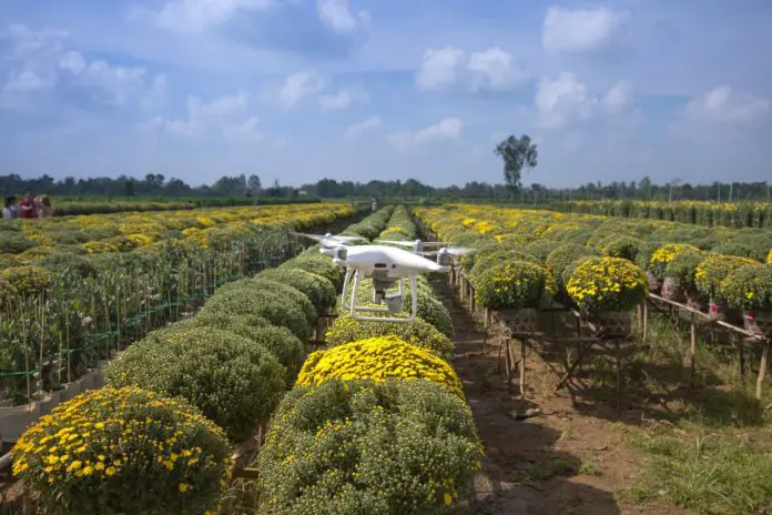
Most farmers who use drones send the flying machines high above their plots of land, where the machines take clear and quick pictures of the fields below.
Many of these devices are designed to communicate with software that uses the aerial photos to create a high-resolution map containing detailed information about crop conditions. The photos taken by the drones and mapping systems can inform farmers about irrigation, soil and infestation problems.
Source: How drones are changing the face of agriculture? | EU-Startups